A map looks like a statement of fact. Its lines are confident, its names are fixed, its scale implies that everything has been measured. But every map is also a record of decisions — about what to include, what to name and what to leave blank.
Measuring a continent
The great surveys of the nineteenth century were among the most ambitious scientific projects ever attempted. Teams of surveyors spent decades hauling instruments across mountains and plains, measuring angles between distant hilltops and building, triangle by triangle, a mathematical skeleton of entire countries. Their precision was extraordinary, and much of it still holds.
Yet the surveys were never only scientific. They were commissioned by governments that wanted to tax, administer and defend territory, and they recorded what those governments needed to know: roads, rivers, towns, boundaries, revenue.
The blank spaces
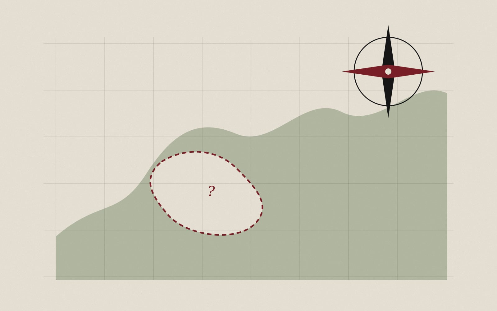
What they recorded less carefully was everything else. Local names were often replaced with ones that clerks could spell. Seasonal routes, shared grazing lands and sacred sites that did not fit the categories of property and jurisdiction tended to disappear from the page. Places that were inconvenient to survey were sometimes simply left empty — and an empty space on an official map could later be treated as an empty space on the ground.
Reading maps against the grain
Historians now read these maps as carefully for their silences as for their measurements. Placed beside travellers' accounts, local records and oral histories, the blank spaces begin to fill with the people who lived there. The surveyors gave us an extraordinary picture of the world. It was never the whole picture, and it was never meant to be.